


Length 8.6 km
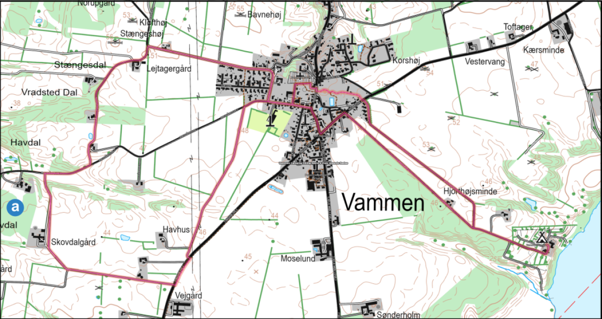
Take an atmospheric route through the eastern edge of Vammen, past Langsø Friskole and an ancient monument from the Stone Age overlooking the overgrown Rødsø. The route follows purple and black markings through the open landscape towards Sødal Forest and back via small roads with nature, history and new climate efforts in focus.
Follow the camping road towards Vammen and keep left in the Y-junction, turn left onto Hobrovej. At the grocery store intersection, turn right onto Nørregade. Turn left onto Haugårdsvej – you’ll pass Langsø Friskole, kindergarten and nursery on your right and continue straight ahead along Haugårdsvej. The route now has purple markers.
Behind the Havgård farm (Haugårdsvej 44) are the remains of a nozzle chamber. Today, only two supporting stones and a fallen lintel remain. The stone pit probably had a single chamber, which was placed in the burial mound with a stone foot circle around it. The ditch is a common grave – probably built in the Early Stone Age or some time into the Middle Stone Age. (approx. 8,300 – 4,000 BC).
From here you have a beautiful view of Rødsø. A small lake with a wide reedbed that is in the process of regenerating.
Follow the purple marked route towards Sødal Skov. You pass the Tingdalgård farm and turn left. After the farm, head up towards the black marked route on Bedehusvej. Turn right onto this route on Bedehusvej and follow it until the road ends in Haugårdsvej.
Turn right onto Haugårdsvej. At the T-junction, turn right onto Nørregade to the grocery store intersection.
Turn left on Hobrovej to Langsøvej on your right and follow it back to the campsite.
a) The technical feasibility studies for a major new “Rødsø Lowlands Project” have just started. The aim is to restore the natural hydrology in an area of 650 hectares, thereby reducing greenhouse gas emissions and reducing nitrogen emissions. In addition, the project will focus on improving the overall natural conditions in the area.