Length: 8.3 km
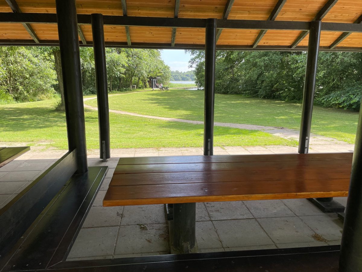
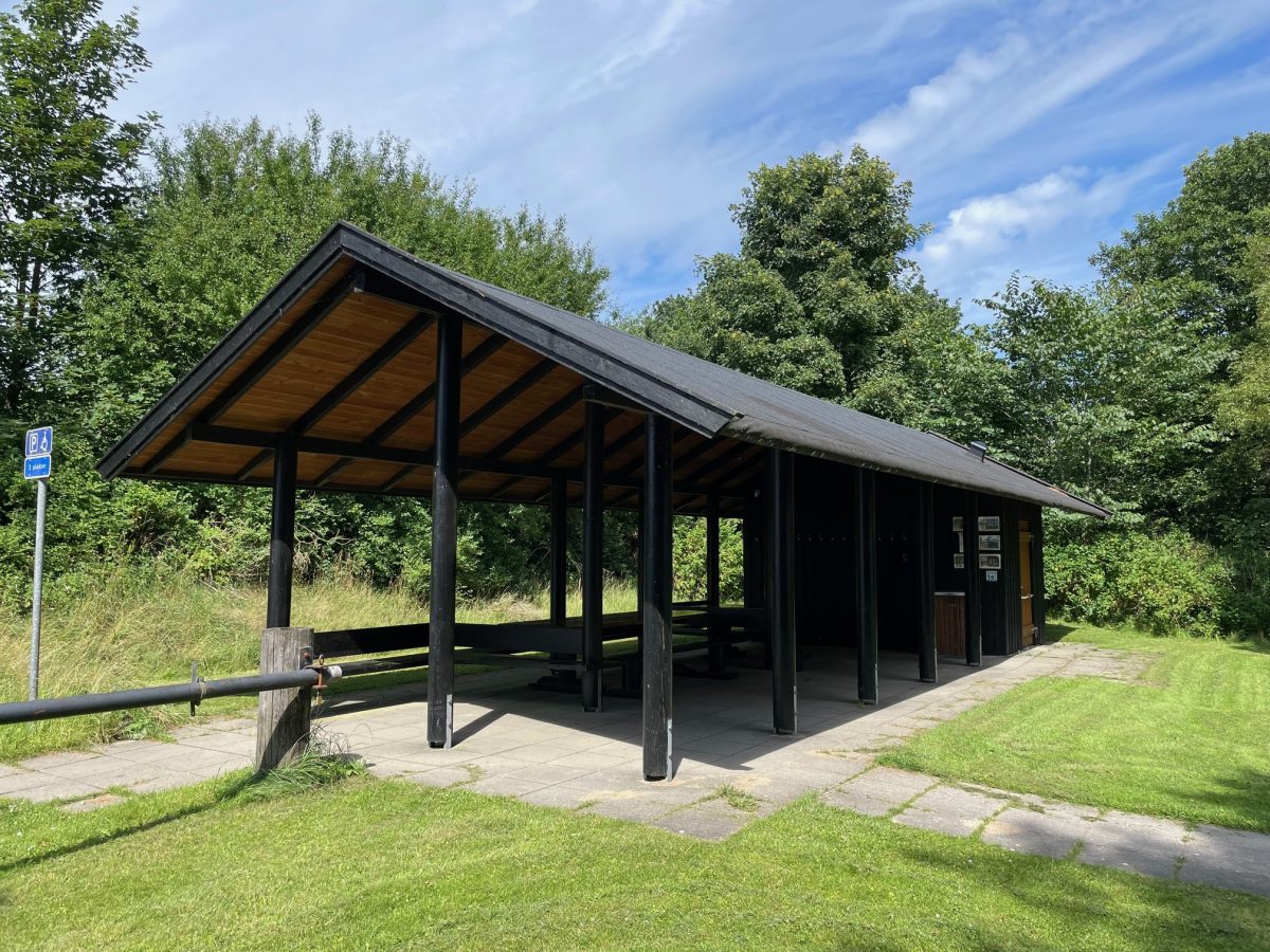
A longer boat trip from Vammen Camping and out to Bigum Søbad. The trip goes through the western half of the total length of Tjele Langsø. At Bigum, there are toilets, changing rooms and showers. It is possible to stay dry as there is a roof on the building, where you can also eat food you have brought along.
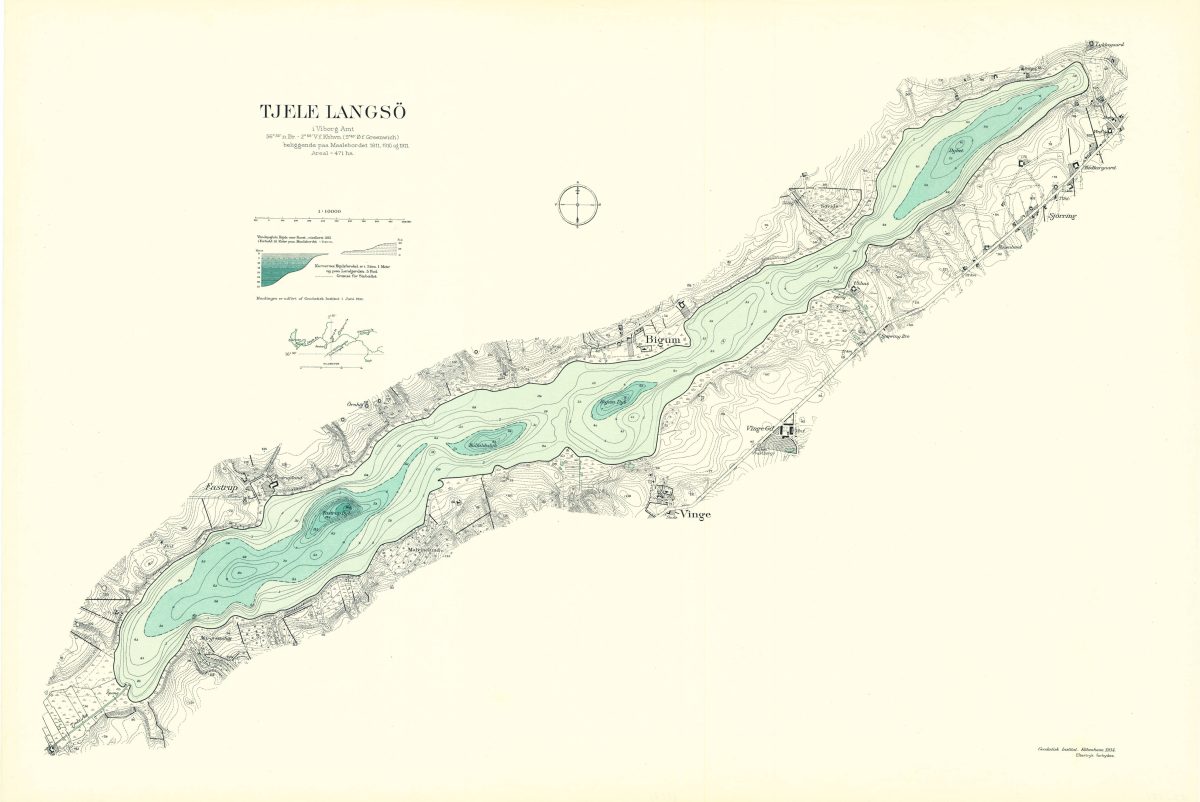
The hike goes past the point at Fastrup and beyond Fastrup Dyb, the deepest point of the lake. There are steep slopes on both shores, formed during the Ice Age and creating a tunnel valley. Here a glacier slowly moved through and shaped the landscape you see today.
The southern shore, from the mouth of Tjele Å at the southwest end of the lake to Vorning Å, is protected as part of a Natura 2000 area. The area is also part of an EU project called LIFE IP Natureman, which, among other things, involves natural grazing (by cattle, for example) to prevent protected areas from becoming overgrown.
Shortly before Bigum, you may want to take a more northerly route than usual. This is because there is shallow water on both banks of the lake, where the depth is only 0.4 meters. Check out the historical depth map at the bottom of the page.
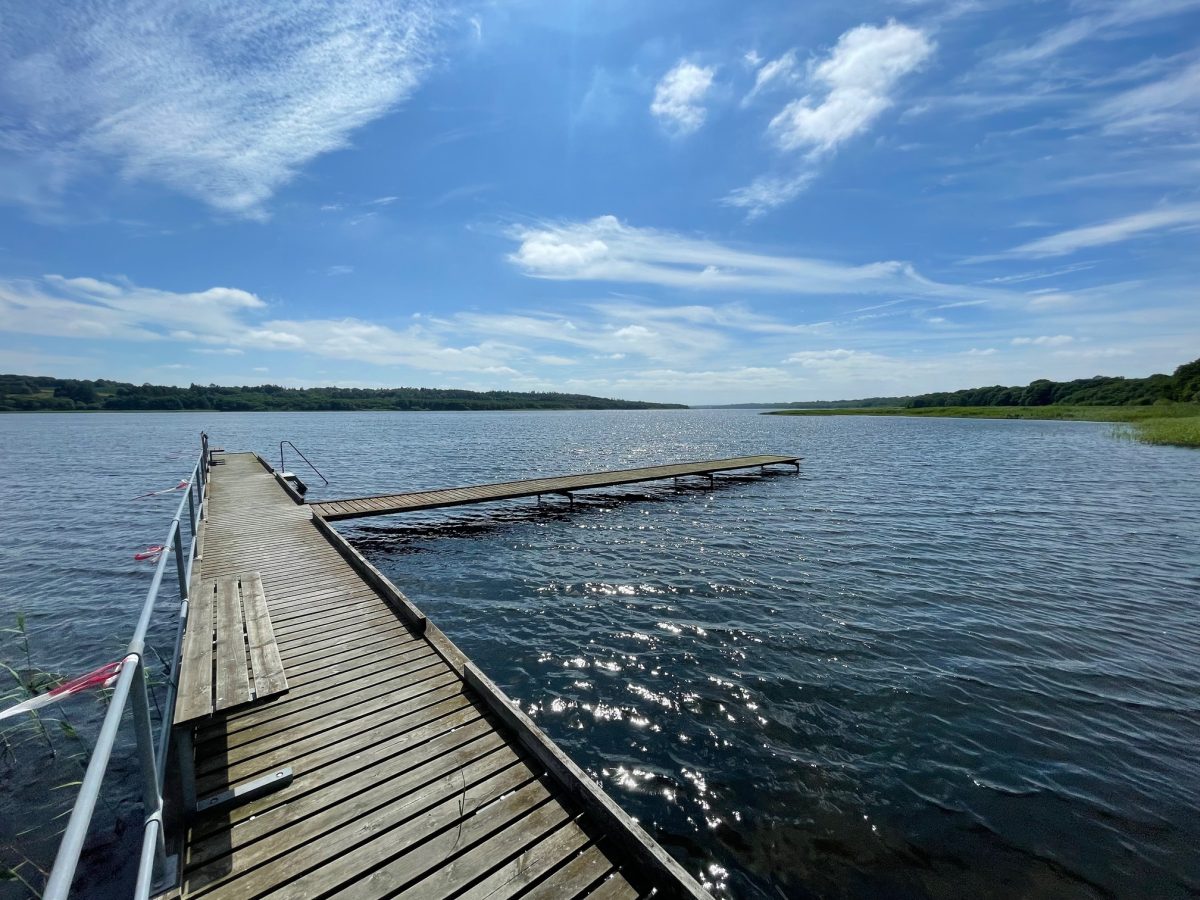
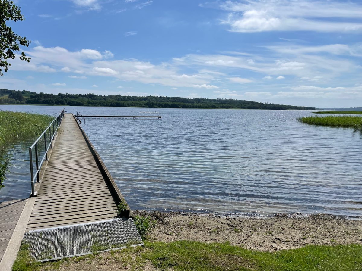
Bigum Søbad is a large, flat and open grass area with a jetty. If there are swimmers present, please be considerate.
Be aware that the trip home can be tougher due to wind conditions, as well as physical fatigue.